

US Officially adopts Complete Map of Morocco
The United States of America put an end to the maneuvers of Morocco's opponents by officially adopting the full map of Morocco
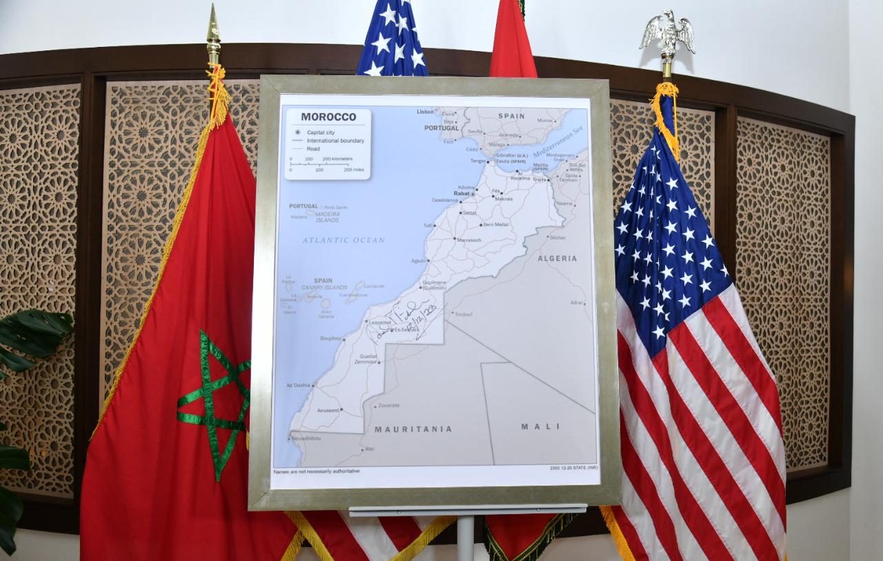
The United States of America put an end to the maneuvers of Morocco’s opponents by officially adopting the full map of Morocco, after removing the line of separation between the Kingdom of Morocco and the Moroccan Sahara.
All American administrations within the states and across the world received the text of the presidential decree to implement it by changing the diplomatic maps approved in all embassies and consular services around the world with new maps bearing the name of Morocco on all the map from Tangiers to Lagouira.
The American ambassador said that Morocco had regained its rights thanks to the “wisdom” and “planning” of King Mohammed VI, and he also expressed his pride in signing the entire map of Morocco. David Fischer also gifted the map of Morocco to King Mohammed VI and stressed that Morocco is “America’s oldest partner”.