

NASA Website Adopts Full Moroccan Map Including Southern Provinces
The official website of the National Aeronautics and Space Administration (NASA) approved the map of the Kingdom of Morocco with full sovereignty over the southern provinces from Tangier to Lagouira
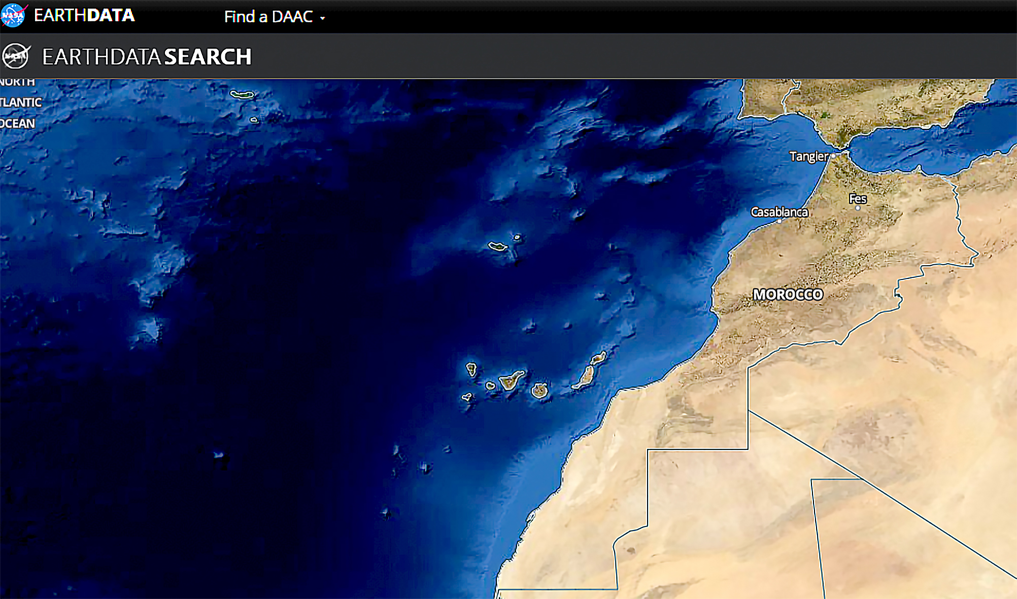
The official website of the National Aeronautics and Space Administration (NASA) approved the map of the Kingdom of Morocco with full sovereignty over the southern provinces from Tangier to Lagouira, officially announcing its recognition of the Moroccanity of Sahara.
The NASA’s move will be shocking to enemies of the kingdom who try to disturb Morocco’s territorial integrity, as this will affect all the maps displayed in the world, including Google Maps.
Support for the Moroccanity of Sahara continues in the recent period, especially after the US’ recognition before the departure of former President Donald Trump.
The US ambassador in Rabat, David Fischer, had announced that his country had adopted a “new official map” for Morocco that includes the Moroccan Sahara. Fischer pointed out that “this map is the physical embodiment of President Donald Trump’s bold declaration, in which he recognized Morocco’s sovereignty over Moroccan Sahara,” before putting his signature on “the new official map of the US government for the Kingdom of Morocco.”